7.7-magnitude earthquake strikes off the coast of Indonesia... tsunami warning issued
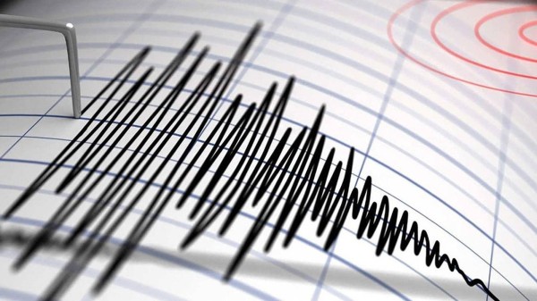
A powerful 7.7-magnitude earthquake struck the Flores region in eastern Indonesia early Saturday morning, prompting authorities to issue an early warning of potential tsunami waves in several coastal areas.
According to data from the Indonesian Agency for Meteorology, Climatology, and Geophysics (BMKG), the earthquake occurred at 4:58 a.m. local time, with a depth of 15 kilometers. Its epicenter was located approximately 30 kilometers northeast of the city of Mbay in the Nagikeo district of East Nusa Tenggara province.
The agency issued an early tsunami warning for areas including East and West Nusa Tenggara, and South and Southeast Sulawesi.
Time and Calendars
Corporate Technology
Politics
The agency’s initial reading had estimated the earthquake’s magnitude at 7.0 with a depth of 10 kilometers, before updating it to 7.7 with a depth of 15 kilometers.
In this context, the Mediterranean Seismological Center announced that a 7.7-magnitude earthquake struck Indonesia’s coasts, accompanied by a warning of potential tsunami waves in the region, as reported by Russia Today.
Earlier, Reuters had reported that a 7.4-magnitude earthquake hit the Flores region in Indonesia.