Minister of Public Works: Expansion of GIS Systems Enhances Planning and Decision-Making Efficiency - Sarmad
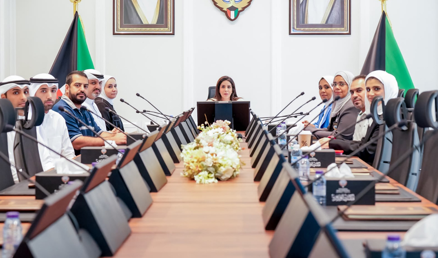
Minister of Public Works Dr. Noura Al-Mashaan emphasized that expanding the use of Geographic Information Systems enhances planning and decision-making efficiency, stressing the importance of linking sectors to a unified database
Translated by Qiyas from سرمد — Original source
(KUNA) — Public Works Minister Dr. Noura Al-Mashaan said that expanding the use of Geographic Information Systems (GIS) to link project data, contracts, and infrastructure networks within a unified database enhances planning and field monitoring efficiency and supports decision-making.
Al-Mashaan emphasized in a press statement today, Monday, after reviewing a visual presentation on the results of implementing the system across the ministry’s sectors, that the expansion of GIS usage aligns with the ministry’s strategy to develop the work environment and leverage data and modern technologies to improve service levels.
She added that the ministry is continuing to employ modern technologies in its various operations and to strengthen integration among its sectors and systems, thereby contributing to the development of engineering work, improving project monitoring efficiency, and accelerating access to the information needed for decision-making.
She stressed the importance of continuously developing the system and linking all ministry sectors within a unified database covering projects and service networks, improving planning, and saving time and effort.
During her meeting with several ministry officials, Al-Mashaan also reviewed a visual presentation delivered by the GIS Committee established under the Information Systems Department, chaired by Engineer Ahmed Al-Saleh and with Engineer Jamana Amer as secretary. The presentation highlighted key achievements in developing and implementing the system, including interactive monitoring dashboards for the Health Engineering and Maintenance sectors, as well as a unified geographic map of projects and infrastructure networks.
The presentation also covered field applications that enable ministry engineers to update data directly from work sites, alongside future plans to expand the system’s implementation and integrate various ministry sectors into a centralized, unified geographic database, supporting the digital transformation process and enhancing the ministry’s operational systems.