Under Greenland's Ice... Map Reveals Hidden Valley from 1943
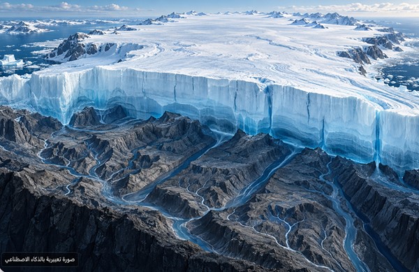
On the surface of Greenland, the ice sheets appear as featureless expanses, but a new map of what lies beneath reveals a network of 1,943 valleys, a third of which were unknown in previous maps.
Rather than seeing the land directly through the ice, researchers studied subtle changes in its surface elevation and flow speed. When ice flows over a valley or rocky highland, the underlying topography leaves a faint imprint on the surface that can be measured using satellite data, allowing scientists to infer the buried terrain.
According to NASA’s Earth Observatory, the method revealed that some known valleys near the edges of the ice sheet extend hundreds of kilometers inland.
The study also identified long, straight valleys in western and central Greenland, whose consistent orientation remains a question that scientists are still working to explain.
The map may help clarify Greenland’s geological history and how these valleys will influence ice flow in the future. Researchers suggest that groundwater, along with ancient geological factors, contributed to the formation of parts of this network—hypotheses that are currently under investigation.