Egyptian Astronomical Research Institute: 5.6 magnitude earthquake centered northeast of Cairo
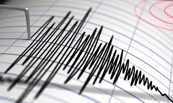
The National Research Institute of Astronomy and Geophysics, under Egypt’s Ministry of Scientific Research, announced that the earthquake that occurred early Monday morning, which was felt by residents in Greater Cairo and several governorates, registered a magnitude of 5.6 on the Richter scale. Citizens in several countries in the region also felt the tremors to varying degrees, including Palestine, Cyprus, Jordan, Lebanon, and Syria.
In an official statement, the institute clarified that the earthquake’s epicenter was located 61 kilometers northeast of Cairo, at coordinates 30.62 degrees north latitude and 32.57 degrees east longitude, at a depth of 26 kilometers. The institute emphasized that the tremor was felt by residents in various areas and urged citizens to follow official data issued by the institute to obtain accurate information regarding seismic activity, while avoiding rumors or unverified information circulating on social media platforms.
For his part, Dr. Khaled Abdel Ghaffar, Minister of Health and Population, directed the activation of the health emergency plan and ordered the convening of the Central Crisis and Emergency Room at the ministry’s headquarters in the New Capital, linked with emergency rooms in the health directorates across governorates to ensure round-the-clock monitoring of the health situation. Dr. Abdel Ghaffar confirmed that maximum readiness has been raised in emergency and critical care departments in all hospitals nationwide. He stressed the necessity of ensuring the preparedness of the Egyptian Ambulance Service, its vehicles, and rapid response teams, as well as guaranteeing adequate supplies of medicines, medical equipment, blood bags, and oxygen.
In a related development, the Egyptian Red Crescent announced the activation of its emergency plan nationwide and urged citizens to avoid old buildings or those showing signs of cracking.